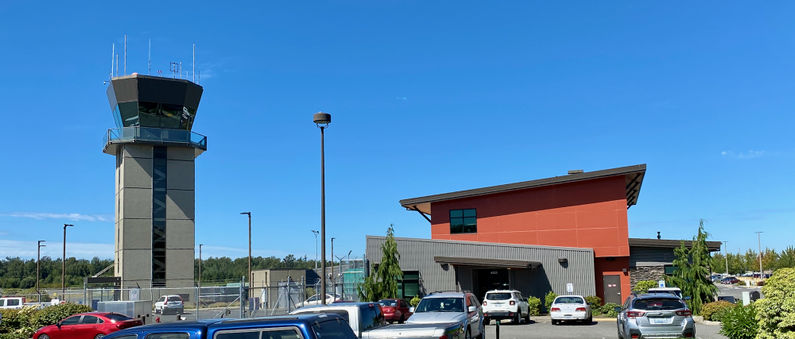
Bellingham Army Airfield
|
Bellingham Army Airfield (1940-1946) - A World War II U.S. Army Air Field established in 1940 near Bellingham, Whatcom County, Washington. First named Bellingham Army Airfield after the location. Abandoned by the military after the end of WWII in 1946. Now Bellingham International Airport.
HistoryInitially conceived and constructed as a civil airport starting in 1938. As the threat of war grew, construction of the airfield took on new urgency and in 1940 the United States Army Corps of Engineers took over the unfinished civil airport and expanded it to three full runways with revetments for parking aircraft and personnel quarters. By 1941, as war approached, the pace of construction increased at the airport and construction was completed on three paved runways. The land was expanded to 350 acres and the original runway extended to 5,000 feet. The second and third runways were built at 5,000 and 4,000 feet. The airport opened to the public on the day of the Pearl Harbor attack - 7 Dec 1941 attracting some 3,000 visitors. During the war the airport was used by Fourth Air Force for air defense of the Pacific Coast. It was later used by Air Transport Command and Air Technical Service Command as a ferrying field for Lend-Lease aircraft being flown to Alaska for subsequent transfer to the Soviet Union. The United States Army Air Forces closed the facility in September 1946, and it was turned over to the War Assets Administration for disposal. During the war the airfield had expanded to 910 acres and 38 buildings, including a garage, dormitory, and 13 bomb-storage structures. United Airlines had constructed the airport's first terminal building. Current StatusNow Bellingham International Airport serves the Northwest and is a port of entry for flights originating in nearby Canada.
See Also: Sources:
Links:
Fortification ID:
Visited: 22 Aug 2022
| |||||||
