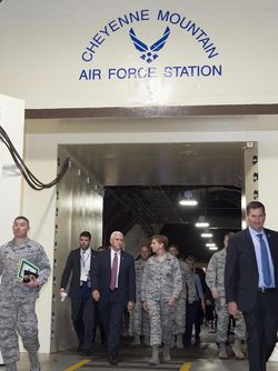
Cheyenne Mountain Space Force Station
|
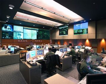
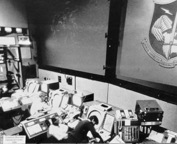
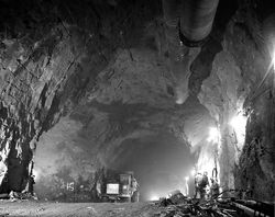
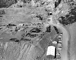
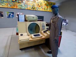
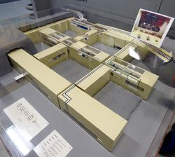
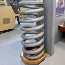
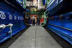
Cheyenne Mountain Space Force Station (1966-Active) - A Cold War era United States Air Force Station established in 1966 near Colorado Springs, El Paso County, Colorado. The Air Force Station contains a complex of underground operations centers built into Cheyenne Mountain for nuclear attack survivability. Initially built to house the North American Aerospace Defense Command (NORAD) underground command and control center for the SAGE System radar network and other early sensor systems. Now owned and operated by Air Force Space Command and used by NORAD, USNORTHCOM, and other DoD agencies. Active Space Force Station although the NORAD/USNORTHCOM facility has been designated as an alternative to the primary command center at nearby Peterson Air Force Base. Cold WarThe requirement for a hardened command and control center was identified in the late 1950s as a defense against nuclear attack by long-range Soviet bombers. The U.S. Army Corps of Engineers supervised the excavation of Cheyenne Mountain some 1500 feet underground and the construction of an operational center complex within the granite mountain. Internally, the complex consisted of fifteen free-standing but interconnected buildings, each shock-mounted on large springs (1,300 total), connected to the outside world by a two-mile access tunnel with two portals to the outside. The entrance to the underground building complex was protected by two 23-ton blast doors that would be closed in the event of an impending attack. The complex is self-sufficient with power, water, and climate systems as well as quarters and mess facilities to sustain buttoned-up operations. Communications facilities ranged from landlines to hardened radio and satellite terminals.
Current StatusCheyenne Mountain Air Force Station is owned and operated by Air Force Space Command. NORAD and USNORTHCOM use just under 30% of the floor space within the complex and comprise approximately 5% of the daily population at Cheyenne Mountain. Now the Cheyenne Mountain Complex serves as NORAD and USNORTHCOM's Alternate Command Center and as a training site for crew qualification. Day-to-day crew operations for NORAD and USNORTHCOM typically take place at Peterson Air Force Base. The station is host to more than a dozen DoD agencies including the Defense Intelligence Agency. Public tours of Cheyenne Mountain are not currently available.
See Also: Sources:
Links:
Fortification ID:
| ||||||
