File:Cape Romanzof Location Map (1).jpg
From FortWiki
Size of this preview: 800 × 582 pixels.
Full resolution (1,027 × 747 pixels, file size: 394 KB, MIME type: image/jpeg)
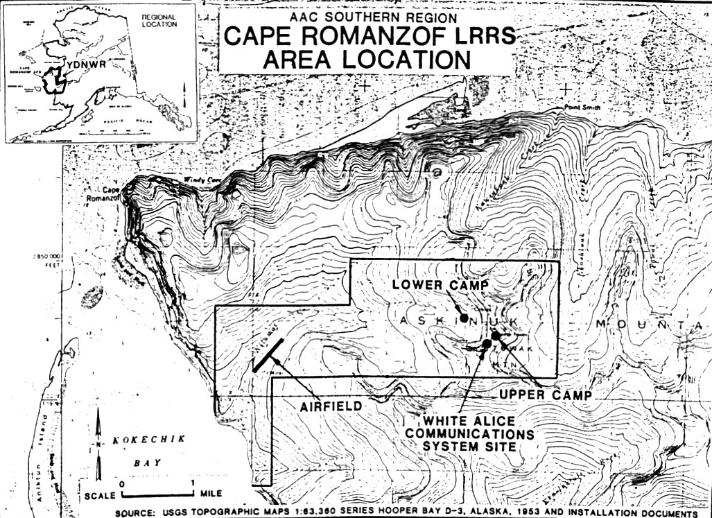
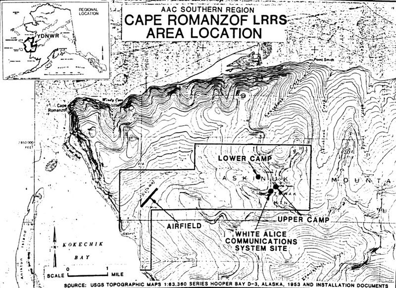
Cape Romanzof Location Map public domain page 2
File history
Click on a date/time to view the file as it appeared at that time.
| Date/Time | Thumbnail | Dimensions | User | Comment | |
|---|---|---|---|---|---|
| current | 17:18, 1 December 2018 | | 1,027 × 747 (394 KB) | John Stanton (Talk | contribs) | Cape Romanzof Location Map public domain [https://ecos.fws.gov/ServCat/DownloadFile/21862?Reference=23343 page 2] |
- Edit this file using an external application (See the setup instructions for more information)
.jpg&action=edit&externaledit=true&mode=file)
File usage
The following page links to this file:
.jpg&oldid=124375)
.jpg)
.jpg&action=edit&redlink=1)
.jpg&action=edit)
.jpg&action=history)
.jpg)
.jpg)
.jpg&printable=yes)
.jpg&oldid=124375)