File:Fort Greem Area Map.jpg
From FortWiki
Size of this preview: 769 × 599 pixels.
Full resolution (1,469 × 1,145 pixels, file size: 467 KB, MIME type: image/jpeg)
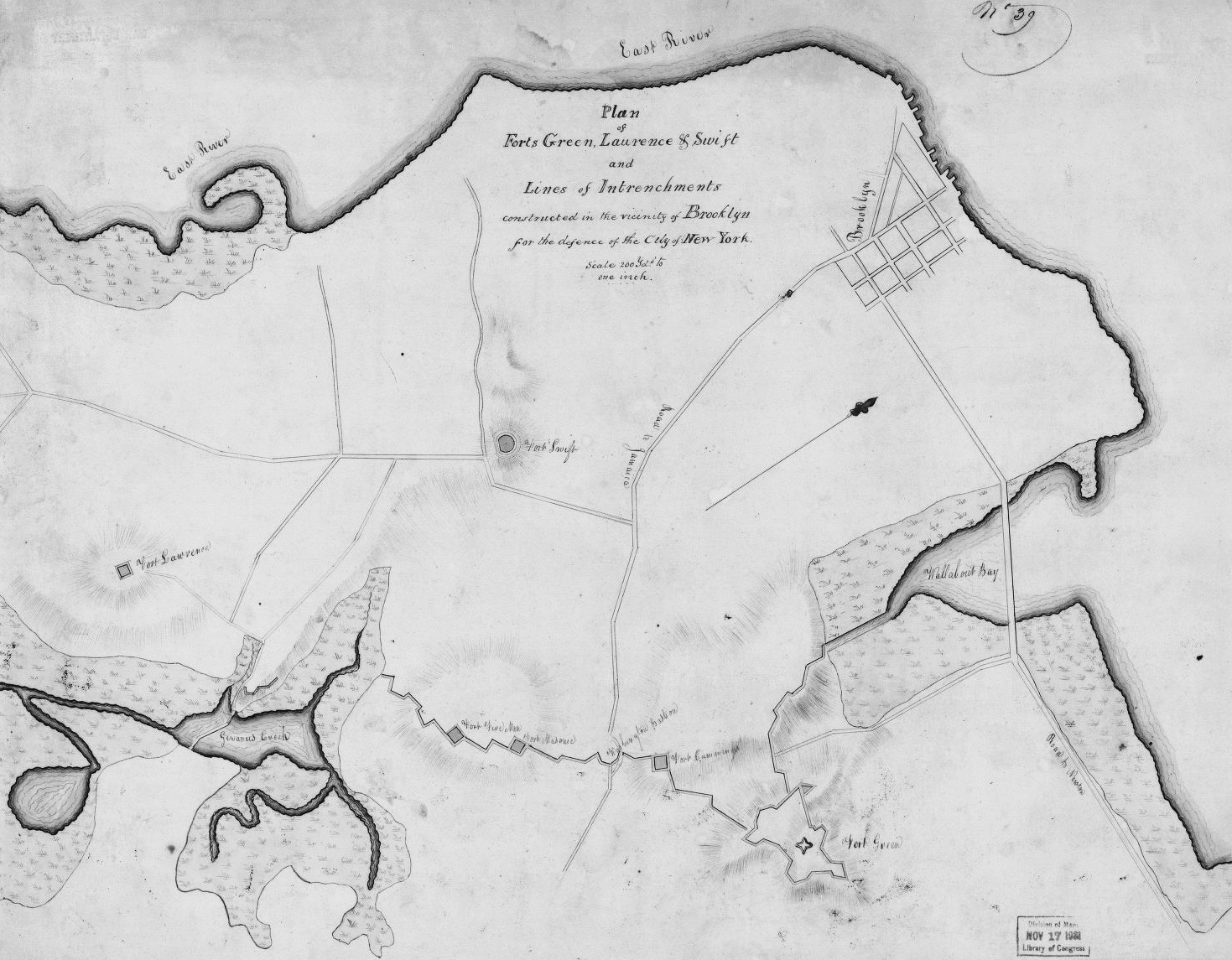
Fort Green, Lawrence & Swift Plan, public domain This image is available from the United States Library of Congress, Prints and Photographs Division under the digital ID g3804n. No known copyright restrictions.
File history
Click on a date/time to view the file as it appeared at that time.
| Date/Time | Thumbnail | Dimensions | User | Comment | |
|---|---|---|---|---|---|
| current | 05:01, 14 January 2016 | | 1,469 × 1,145 (467 KB) | John Stanton (Talk | contribs) | Fort Green, Lawrence & Swift Plan, public domain {{LOC|DigitalID=g3804n}} |
- Edit this file using an external application (See the setup instructions for more information)
File usage
The following page links to this file: