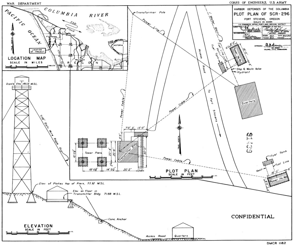
File:Fort Stevens SCR-296A Radar Site Plan.jpg
From FortWiki
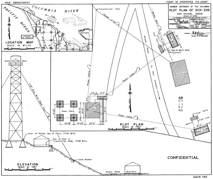
Size of this preview: 716 × 600 pixels.
Full resolution (1,139 × 954 pixels, file size: 223 KB, MIME type: image/jpeg)
Fort Stevens SCR-296A Radar Site Plan, public domain NARA, CDSG.
File history
Click on a date/time to view the file as it appeared at that time.
| Date/Time | Thumbnail | Dimensions | User | Comment | |
|---|---|---|---|---|---|
| current | 23:18, 24 May 2017 | | 1,139 × 954 (223 KB) | John Stanton (Talk | contribs) | Fort Stevens SCR-296A Radar Site Plan, public domain NARA, CDSG. |
- Edit this file using an external application (See the setup instructions for more information)
File usage
The following page links to this file: