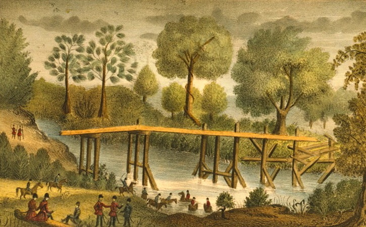
Fort Dade (1)
|
Fort Dade (1) (1837-1842) - A U.S. Army post established in 1837 during the Second Seminole War by Lieutenant Colonel William S. Foster, 4th U.S. Infantry, in present day Pasco County, Florida. Named for Major Francis F. Dade, 4th U.S. Infantry, who died, 28 Dec 1835, along with his entire command, save three, in what came to be known as the "Dade Massacre." Abandoned in 1838. HistoryA U.S. Army post established in January 1837 during the Second Seminole War under the supervision of Lieutenant Colonel William S. Foster, 4th U.S. Infantry and elements of the 1st U.S. Infantry, the 3rd U.S. Infantry and the 4th U.S. Infantry. The post was built to protect a bridge over the Withlacoochee River that was a part of the Fort King Road. Fort Dade became the headquarters of the Army of the South from its establishment to the end of March, 1837. During that period Major General Thomas S. Jesup was in residence. On 6 Mar 1837 Seminole leaders, Jumper and Aligator signed the "Fort Dade Articles of Capitulation" and agreed to the removal of the Seminoles to western lands. They later cleverly reneged on the agreement after the U.S. had compensated them for the move and they disappeared back into the countryside to continue the war. At least six men lost their lives at Fort Dade, including a fort commander, 1st Lt. Thomas B. Adams (Cullum 519), who was the grandson of President John Adams. The post was declared unhealthy and abandoned for the summer in 1838 and the Seminole Indians burned it and the bridge down. The site was occupied sporadically until finally abandoned at the end of the war in 1842. Current StatusSite owned by Seminole Wars Historic Foundation, Pasco County, Florida
Sources:
Links: Visited: No
| ||||||
