Fort Ebey WWII Radar Site
|
Fort Ebey WWII Radar Site (1943-1946) - A World War II U.S. Army Radar Site established in 1943. Used to provide fire control information to large caliber (6" and above) coastal gun batteries in the Harbor Defense of Puget Sound against enemy warships. Located on Fort Ebey (2) on Whidbey Island, Island County, Washington. It closed in 1946. HistoryPart of the Harbor Defense of Puget Sound.
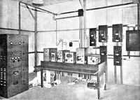
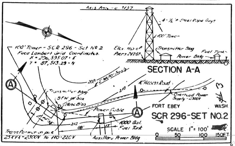
Constructed under project No. RAD 9-137 and transferred for use on 20 Sep 1943 as Fort Ebey SCR-296A Radar Site. Construction costs to the date of transfer were $14,300. The physical plant consisted of a transmitter building, one powerhouse with a 1000-gallon fuel tank, a 100' steel tower, and an antenna housing disguised as a Water tank atop the tower. The two buildings and the tower were prefabricated steel units furnished by the Signal Corps. The buildings and the tower were placed on concrete pads and footings installed by the Corps of Engineers who erected all of the structures. Access to the antenna on top of the tower was by a small hoist operated by an electric motor. The radar equipment was installed by the Signal Corps. It required 16.3kW of 120/240 AC, 1 phase, 60 cycle power furnished by commercial power backed up by a single on-site generator. The 25 kW generators were furnished and installed by the Signal Corps.
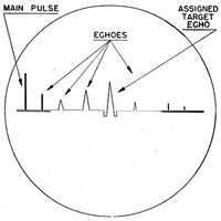
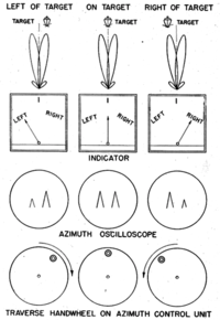
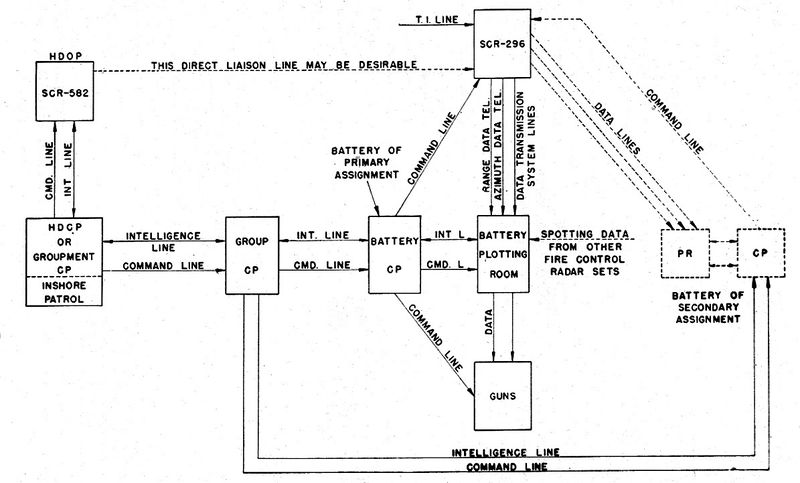
Site OperationIn operation, the SCR-296-A radar could only track one target at a time. Target assignments were made from the harbor HECP/HDCP command posts by telephone, citing the approximate range and azimuth of the target using the SCR-582/SCR-682 search radar and/or optical spotters. The SCR-296-A radar operators would then find the target and pass the precise range and azimuth to the plotting room at the gun battery by phone. Two operators were required, one for the range position and one for the azimuth position. The radar operators would continue to track the target and update the plotting room as the range and azimuth changed. Once the shore battery fired, the SCR-296-A could detect the water splashes of near misses and provide adjusting information by voice commands such as "300 short" or "500 long". In operation, the range accuracy was about ± 30 yards while azimuth accuracy was about ± 0.20 degree under the best conditions. The set had a dependable range of 20,000 yards on a destroyer size target when properly sited between 150 to 500 feet above sea level. The operating crew consisted of 5 men plus a power plant operator and radar maintenance man. The Radar track data was provided by telephone to support Battery 248 as the primary battery and to secondary Battery Tolles-B. Battery 248 was a 6" gun battery located nearby, also on Fort Ebey (2). The SCR-296A Radar equipment was declared obsolete by AG letter on 17 Jan 1946. The Tower and radar equipment were to be disposed of while the buildings were to be retained.
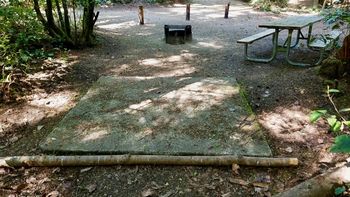
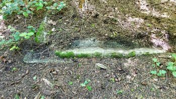
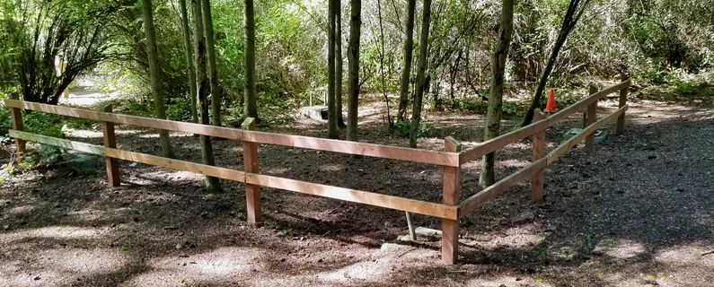
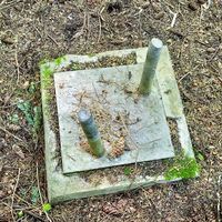
ClosureIt closed in 1946. Current StatusPart of the 645-acre Fort Ebey Washington State Park. The remains of the Radar Site can be seen in and around Tent Campsite #10. Three of the tower piers are protected by fencing but the adjacent transmitter building foundation is somewhat concealed by debris. The generator building pad is exposed on the north side of the Kettles Trail that passes by the site. Further down the trail is another concealed foundation on the south side of the trail that is thought to be the radar site operation building.
See Also: Sources:
Links: Fortification ID:
Visited: 11 Aug 2022, 25 May 2017
| |||||||
