Fort Kent
|
Fort Kent (1839-1845) - A U.S. border post established in 1839 by a Maine Civil Posse during the United States - Canada border dispute known as the Aroostook War. The post was located at the confluence of the St. John River and the Fish River in the present day town of Fort Kent, Aroostook County, Maine. Taken over by U.S. Army troops and expanded in 1841, abandoned by them in 1843. Abandoned as a fortification in 1845 and sold to private owners in 1858. Named in 1840 for Edward Kent, twice Governor of Maine (1838-1839, 1841-1842). Also known as Camp Jarvis.
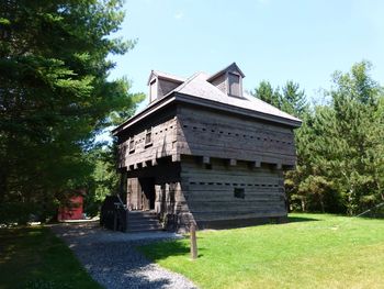
History A blockhouse was originally built on the site of Fort Kent by a Maine Civil Posse under the command of Captain Nye and later Captain Stover Rines. The civil posse garrison was replaced late in 1839 by U.S. troops under the command of Captain John Winder (Cullum 242). The blockhouse was completed and the post was expanded by Captain Winder to include a barracks, officer's quarters, and other support buildings. The blockhouse is a two story structure with a base 23.5 feet square and second story with a 15 inch overhang on each side. The walls were built from cedar timbers, some 19 inches square placed on a shale rock foundation. A powder magazine was built into the base of the structure. In 1843 the post was deactivated and abandoned on 11 Sep 1845. In 1857 it became the property of the State of Maine who then sold it to a private individual in 1858. The property was returned to the state in 1891 but was neglected until 1959 when preservation efforts began.
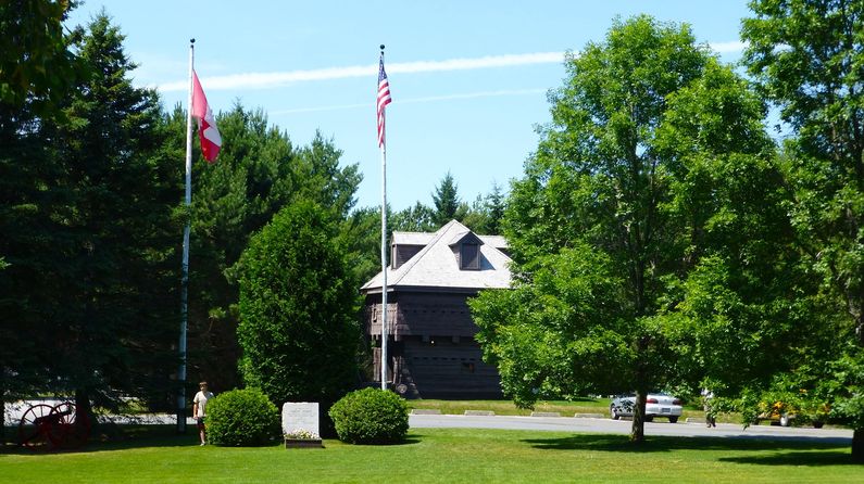
Current StatusRestored original blockhouse in Fort Kent, Aroostook County, Maine. The state-owned blockhouse is maintained by local Eagle Scouts in cooperation with the Bureau of Parks and Recreation, Maine Department of Conservation.
Sources:
Visited: 14 Jul 2013
| ||||||


