Fort Presque Isle (1)
| More information at Warlike, Wikidata, Wikipedia
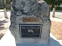
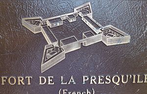
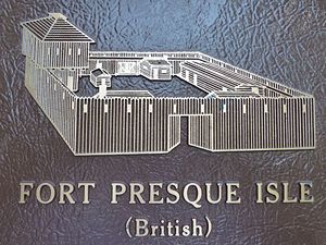
Fort Presque Isle (1) (1753-1763) - A French fortification established just before the French & Indian War in 1753 in present day Erie, Erie County, Pennsylvania. Abandoned by the French in 1759. Rebuilt and occupied by British troops until 1763. A new Fort Presque Isle (2) was built by Americans on a different site in 1795 and occupied until abandoned in 1814.
French & Indian War (1754-1763) In 1753-54, the French sought to gain control of the Ohio River Valley by building forts along a route from Lake Erie to the forks of the Ohio. The forts were strategically placed along the water route from Lake Erie to the Ohio River beginning at Fort Presque Isle and the some 12 miles of overland portage to Fort le Boeuf. The route then goes down French Creek to Fort Machault where French Creek meets the Allegheny River and from there to Fort Duquesne (1) at the head of the Ohio River. When the French started this line of forts the Lieutenant Governor of Virginia, Robert Dinwiddie, sent 21 year old George Washington all the way to Fort le Boeuf to demand the French leave. The French declined and the stage was set for the French & Indian War. The French completed the four forts and held the territory until the advance of British General John Forbes in November 1758 caused the French to abandon and destroy Fort Duquesne (1) and fall back along the line of remaining forts. In July 1759 the three remaining forts were destroyed and the French left. The British took over the abandoned and destroyed Fort Duquesne (1) and began building Mercer's Fort and Fort Pitt (1) over the ruins. The departure of the French forces in July 1759 allowed the British to occupy the three remaining French fort sites in 1760 and rebuild the destroyed fortifications. The British occupied all four of the fort sites until Pontiac's War in 1763. The hostile Indians manage to take and destroy all three of the upper forts in 1763 and they laid siege to Fort Pitt (1) but were unable to take it.
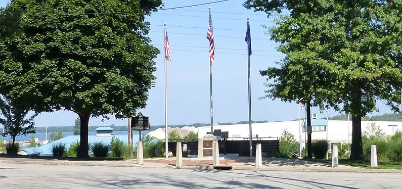
Current StatusErie, Erie County, Pennsylvania.
See Also: Sources:
Links: Visited: 16 Aug 2012
| ||||||||||||||||||||||||||||||||||||||||||||||||||||||||||||||||||||||||||||||||||||||||||||||||


