Fort Waters
|
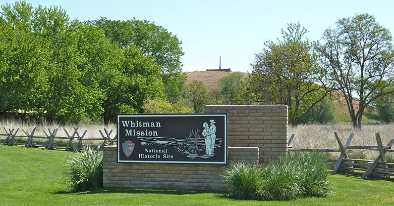
Fort Waters (Watters) (1848) - Built on the ruins of the Whitman Mission (Waiilatpu) by the Oregon Volunteers in 1848. The Oregon Volunteers arrived in March 1848 after the Whitman Massacre in November 1847. They buried the dead and establish a temporary fort as a base of operations for the Cayuse War. HistoryOn November 29, 1847, Cayuse tribal members killed 14 people at the Whitman Mission at Waiilatpu, including Marcus and Narcissa Whitman. In February or early March 1848, the Oregon Volunteers arrived at Waiilatpu, interred the remains of those who had been killed, and built a small fort on the site, which was named Fort Waters. Several bands of troops subsequently spread out through the area in search of the Cayuse. Several of the soldiers who participated in the 1848 campaign give brief accounts of their fortifying operations as follows: S. A. Holcomb: "... we went up the Walla Walla River to this Whitman Mission station... Then we built a fort of rails gathered from the farms set on end and surrounded by trenches.... Then we scoured the country round looking for property of the Mission, and stock is taken from it.... We got back to the fort we had built, which we called Fort Waters, and rested a while." N. G. McDonald: "I was shot thru the right lung. . . . I was taken from that place to Dr. Whitman's Mission building on a litter." Alonzo A. Phillips: "On arriving there [Waiilatpu] the first thing was to gather the adobes from the ruins of the Mission building and make a fort, by building walls and filling in with earth. This fort we called Fort Watters." Alvan C. Brown: "We arranged a kind of fort and a hospital for the wounded and some sick with measles." W. W. Walter: we tore down the Mission buildings and built a small fort of the sun-dried bricks which had formed the walls of the Mission. We also built a stockade for the horses." (44) Current StatusWhitman Mission National Historic Site. Ruins.
See Also: Sources:
Links: Fortification ID:
Visited: 28 Jun 2017, 15 May 2010 | |||||||
