Fort Brewerton
| More information at Warlike, Wikidata, Wikipedia
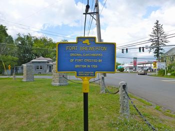
Fort Brewerton (1759-1767) - A French & Indian War fort established in 1759 by British and provincial forces under Sir William Johnson, in Oswego County, New York. Named for Major George Brewerton Jr., a British officer credited with building the fort. Dismantled and abandoned in 1767 in accordance with a treaty provision with the Mohawk Indians.
French & Indian War (1754-1763) A French & Indian War fort established in 1759 by British and provincial forces as an eight-point star earthworks with four log blockhouses surrounded by a palisade and ditch. The fort was armed with four, 3-pounder swivel guns and garrisoned by 20 to 100 men. The underground magazine was located 100' east of the fort and connected to the fort by a tunnel. The fort was located at a strategic point on the north bank of the Oneida River where it meets Lake Oneida. The fort was dismantled and abandoned in 1768 in accordance with a treaty provision with the Mohawk Indians made at Fort Stanwix.
Revolutionary War (1775-1783)The fort site was used as a temporary camp by both British and American forces during the Revolutionary War.
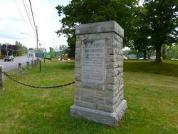
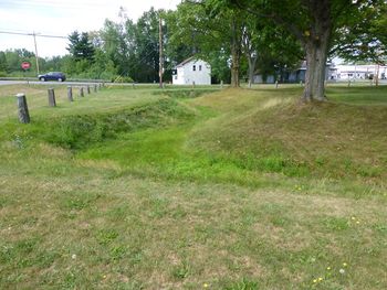
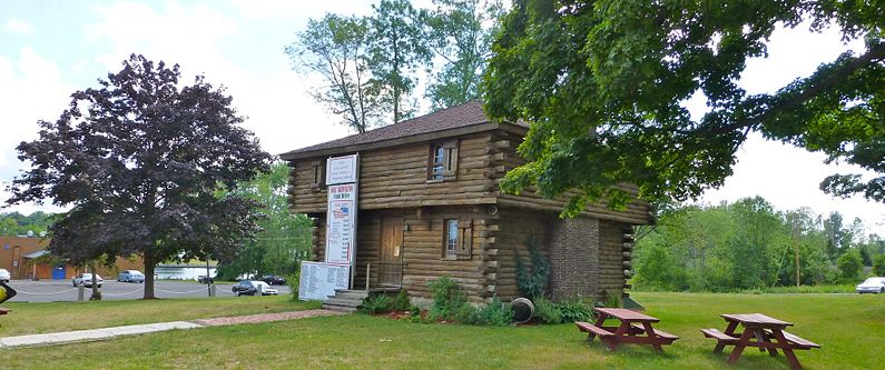
Current StatusSome of the earthworks remain, a replica blockhouse from a later period serves as a historical society museum in Brewerton, Oswego County, New York. The Oliver Stevens Blockhouse Museum contains a model of the fort.
Sources:
Links:
Visited: 28 Jul 2012
| ||||||


