Fort Granger (1)
| More information at Warlike, Wikidata, Wikipedia
Fort Granger (1) (1862-1865) - A Union U.S. Civil War Fort established in 1862 in present day Franklin, Williamson County, Tennessee. Named Fort Granger after Union General Gordon Granger, (Cullum 1265). The fort was abandoned by Union troops in 1865 after the end of the war.
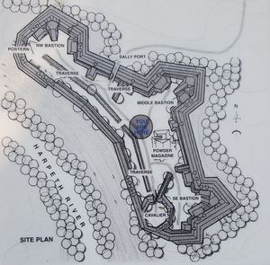
History of Fort Granger Constructed under the supervision of Captain William E. Merrill, (Cullum 1825), Chief Engineer for the Army of the Cumberland, as a large Union earthworks fort mounting 24 guns with a garrison of 8,500. Additional batteries were situated on five or six of the hill tops surrounding the fort. The fort itself was located on the north bank of the Harpeth River in present day Fort Granger Park northwest of Franklin. Heavy artillery fire from Fort Granger during the November 1864 Battle of Franklin inflicted serious damage on the right wing of the attacking Confederate line. Union General John M. Schofield, (Cullum 1585) directed his army from this fort. The hard fought battle was a decisive victory for the Union forces and a disaster for the Confederates who had six general officers killed, six wounded and one captured. Other Confederate losses included 1,750 men killed, 3,800 disabled and 702 prisoners. From the Battle of Franklin the Confederate Army turned its attention to Nashville where the Battle of Nashville effectively finished the destruction of the invading Confederate army. Fort Granger was abandoned in 1865 at the end of the war.
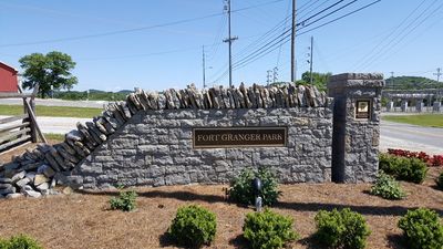
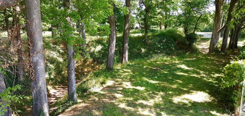
Current StatusEarthworks and trench remains in Fort Granger Park.
See Also: Sources:
Links: Visited: 15 May 2016
| ||||||


