Fort Kaskaskia
|
Fort Kaskaskia (1733-1764, 1772-1807) - First established by the French in 1733. Finally abandoned in 1807. Also known as Fort of the Kaskasquias, Fort Gage and Fort Clark (2).
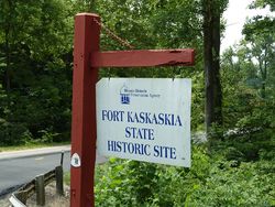
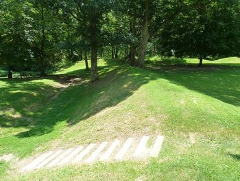
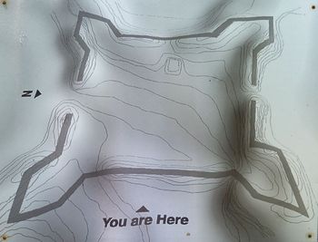
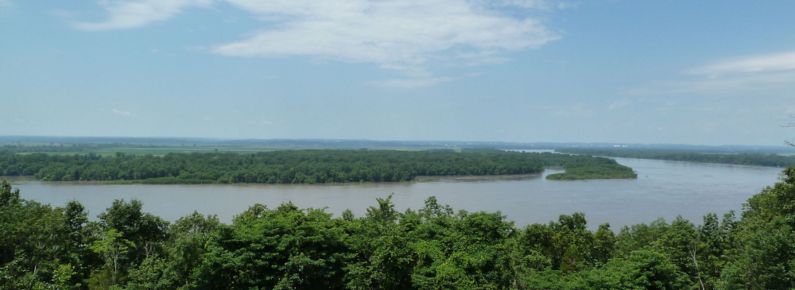
French Fort History (1733-1766)First erected as a rough wooden stockade by the French in 1733 and known as Fort of the Kaskasquias. A more substantial fortification was built by the French during French & Indian War that included a heavy stockade with four blockhouses at the corners. This incarnation of the fort was named Fort Kaskaskia and it remained until destroyed in 1766 by the citizens of Kaskaskia to keep it from the new British owners of the territory. British Fort History (1772-1776)In 1772 the British were forced to leave their headquarters at Fort de Chartres because it was eroding into the river and they chose to fortify the old Jesuit Seminary at Kaskaskia, calling it Fort Gage in honor of General Thomas Gage. The British occupied the area until they were ordered to Fort Detroit in 1776. American Fort History (1776-1807)The fort remained without a garrison until it was taken by American General Rodgers Clark on 4 Jul 1778. The American forces remained throughout the Revolutionary War. Current Status Part of Fort Kaskaskia State Historic Site. The remains of Fort Kaskaskia include the outline of long earthworks forming a rough square, with bastions at the corners.
Sources:
Links: Visited: 27 Jun 2010
| ||||||


