Fort Keogh
| More information at Warlike, Wikipedia
Fort Keogh (1876-1924) - Established Aug 1876 by Colonel Nelson A. Miles, 5th U.S. Infantry and named after Captain Myles W. Keogh, 7th U.S. Cavalry, who was killed at the Battle of the Little Big Horn, 25 Jun 1876. Also known as New Post on the Yellowstone, Cantonment on Tongue River, Camp on Tongue River and Tongue River Barracks. Transferred to the U.S. Department of Agriculture (USDA) in 1924.
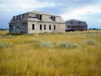
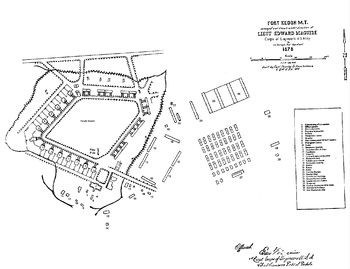
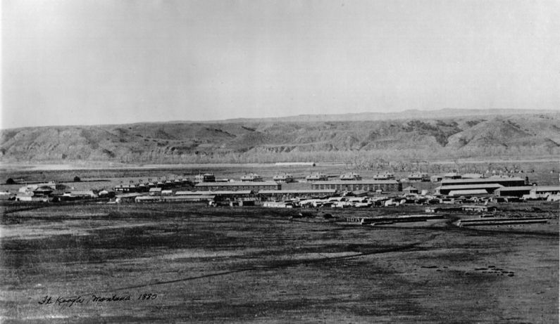
HistoryFort Keogh was established in August 1876 by Colonel (Bvt. brigadier general) Nelson A. Miles for whom Miles City, Montana is named. The original size of the Fort Keogh Military reservation was 100 square miles, 64,000 acres. The original site is known as Cantonment on Tongue River was abandoned in favor of a site a mile west of the original. The new site was officially named Fort Keogh on 8 Nov 1878. The fort was laid out with officers' quarters facing in toward a diamond-shaped parade field and the sets of enlisted barracks facing from the northeast and southeast. The headquarters was located at the northern tip and the Commander's quarters were located at the western tip. All infantry troops were withdrawn in 1907 and in 1909 Fort Keogh became a Remount Station for the U.S. Army. The Army relinquished the land in 1922 and withdrew on 2 Feb 1924. On 15 Apr 1924, the Fort Keogh Military Reservation was transferred to the U.S. Department of Agriculture (USDA). Current StatusThe fort site is now on the property of the USDA, ARS Fort Keogh Livestock and Range Research Laboratory, 243 Fort Keogh Rd., Miles City, MT 59301-4016, Phone: 406-874-8200, Fax: 406-874-8289. The remains of the original Fort include the parade ground, a wagon shed built sometime after 1883 and restored recently, a flag pole erected around 1903, and seven other structures built prior to 1924. Part of the Fort Keogh reservation was used for the Miles City Air Force Station in the 1950s and 1960s, now abandoned.
See Also: Sources:
Links: Fortification ID:
Visited: No
| |||||||


