Fort Masonic
|
Fort Masonic (1814-1815) - A War of 1812 Fort established in 1814 near Brooklyn, Kings County, New York. Abandoned as a fortification in 1815 at the end of the war. Also known as Redoubt Masonic.
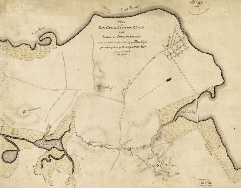
History of Fort MasonicEstablished on 31 Aug 1814 in present day Brooklyn, New York. Built on the ruins of Revolutionary War Patriot Fort Greene (4) which was renamed by the British Fort Sutherland after their 1776 capture of New York. This fortification was established, along with many others, in response to the threat of British invasion and subsequent burning of Washington DC on 24 Aug 1814. The british attack was in retaliation for the American raids into Canada. The ease with which the British took Washington alarmed New Yorkers who thought they would soon be next and they redoubled their efforts on the defenses. The Mayor of New York, DeWitt Clinton mobilized thousands of city residents and organization them into construction gangs and built fortifications all around the city, including across the river in Brooklyn. Fort Masonic was built by the Grand Lodge of Free Masons, some 750 strong who came to the heights of Brooklyn en-mass. They were headed by their Grand Master, De Witt Clinton. The fort was a square redoubt located on a diagonal within the block bounded by present day Nevins Street, State Street, Bond Street and Schermerhorn Street. The southwestern corner intersected State Street while the northwest corner intersected Schermerhorn Street. Abandoned as a fortification in 1815 at the end of the war. Current StatusMarker only, originally placed on the former Harriet Judson YWCA building at the corner of State Street and Nevins Street in Boerum Hill, Brooklyn, New York. Marker text:
See Also: Sources:
Links:
Visited: No
| |||||||
