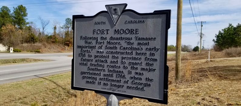
Fort Moore (4)
|
Fort Moore (4) (1715-1746) - A British colonial fort first established in 1715 along the Savannah River near the present day town of Beech Island, Aiken County, South Carolina. Named Fort Moore after colonial South Carolina Governor James Moore. Abandoned in 1746.
HistoryBuilt in the winter of 1715 by the colonial government of South Carolina after a series of hostile Indian attacks on settlers escalated into what became the Yamasee War. The fort was located on a high bluff along the Savannah River across from present-day Augusta, Georgia. The fort was placed along ancient Indian trading paths known collectively as the Cherokee Path and was one of a series forts built to protect these routes. The fort has been described as a 150-foot square palisaded compound that was both a military fort and a trading post. Archeological remains have indicated that it may have been a bit bigger, perhaps 200 feet square. Abandoned in 1746 as Augusta became the more important trading center in the area.
Current StatusArcheological remains only, Aiken County, South Carolina. Marker on Sandbar Ferry Road (State Hwy 28) just before the Savannah River Bridge. A series of archeological digs beginning in 1971 have unearth numerous artifacts and building/compound traces that indicate the palisaded compound may have been located.
See Also: Sources:
Visited: 8 Feb 2018
| |||||||||||||||||||||||||||||||||||||||||||||||
