Fort Nogales
More information at Warlike, Wikidata,
|
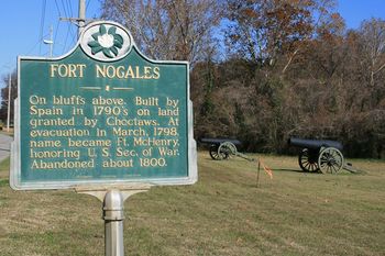
Fort Nogales (1791-1798) - Established by the Spanish in 1791. Transferred to the U.S. Government in 1798 by treaty with Spain and renamed Fort McHenry (2) after the 3rd U.S. Secretary of War, James McHenry.
 
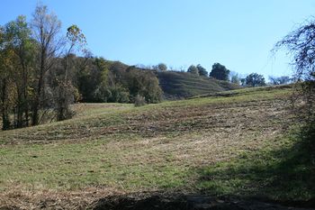
HistoryIn the Natchez Treaty of 1790, the Choctaw Indians ceded a site to the Spanish for a defensive fortification that became Fort Nogales. Fort Nogales was actually a complex of fortifications along the Yazoo River just above Vicksburg, Mississippi. The main fortification was located at the base of a bluff and consisted of a 12' high palisade surrounding barracks, two blockhouses, a 12 cannon water battery, the magazine, and Officers quarters. The blockhouses in the rear-mounted four protecting howitzers. Other fortifications in the complex included Fort Mount Vigie 1000 yards to the rear at the top of the bluff, Fort Sugarloaf across a creek, and two small blockhouses on the right and left called Fort Gayoso and Fort Ignatius. In 1798 a treaty with Spain ceded the complex to the U.S. Government and the complex was renamed Fort McHenry (2). Current StatusPart of Vicksburg National Military Park, Vicksburg, Mississippi. No remains of the complex.
Sources:
Links: Visited: 5 Dec 2009
|