Fort Sullivan (1)
| More information at Warlike and Wikipedia
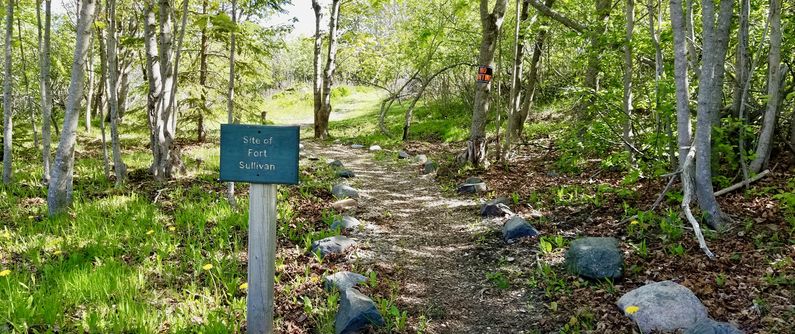
Fort Sullivan (1) (1808-1873) - A Federal Second System fort established in 1808 by Major Lemuel Trescott on Moose Island, in present day Eastport, Washington County, Maine. Named for Revolutionary War General John Sullivan. Abandoned in 1873.
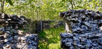
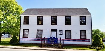
Second System (1808-1816)Fort Sullivan was built as a Second System timber blockhouse fort with a four-gun circular stone battery, a magazine, and barracks. The battery mounted four heavy guns. War of 1812 (1812-1814)The fort was surrendered to a British Fleet under Sir Thomas Hardy in July 1814. The British renamed the fort, Fort Sherbrooke (1). The fort and the town remained in British hands until territorial disputes were resolved. Moose Island, the town, and the fort were returned to the United States on 30 Jun 1818. The fort was then renamed, Fort Sullivan. The last garrison was withdrawn in 1873 and the fort was abandoned. An 1879 Map of the post includes a company quarters building, hospital, bakery, storehouse, office, magazine, and guardhouse. Current StatusIn Eastport, Washington County, Maine. The ruins of a powder magazine remain on site at McKinley St. & Adams St. A restored and relocated officer's quarters serves as the Fort Sullivan Barracks Museum at 74 Washington St., Eastport, Maine.
Sources:
Links:
Visited: 28 May 2018
| ||||||


