Fort Washington (4)
|
Fort Washington (4) (1790-1804) - Established in 1790 by Major John Doughty to protect settlers in the Northwest Territory. Named after President George Washington. Abandoned in 1804.
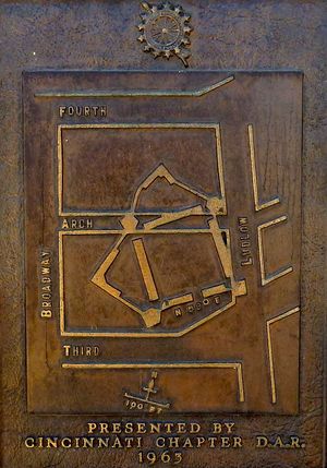
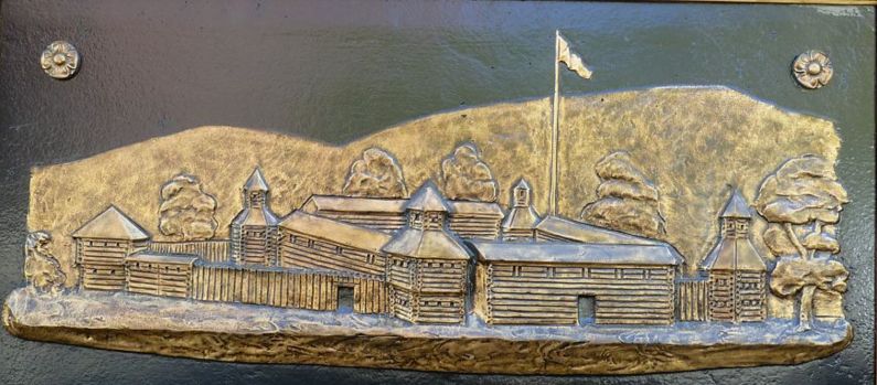
History Established on the north bank of the Ohio river at the mouth of the Licking River. The post was constructed as a 200 foot square stockade with five sided, two story blockhouses at each corner. Two ravelins were built on the west and north sides. Each ravelin had a small two story, palisaded blockhouse. Fort Washington was Headquarters for military operations against hostile Indians in the Northwest Territory 1790-1795. Generals Arthur St. Clair, Josiah Harmar and "Mad" Anthony Wayne were commanders at the fort. The Treaty of Greenville was signed 3 Aug 1795 bringing peace to the Northwest Territory. Fort Washington was abandoned in 1804 and sold off as lots in 1807.
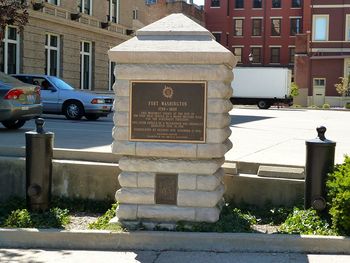
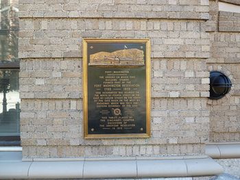
Current StatusThere are two markers on the Fort Location. The more prominent one is a stone marker in the shape of a blockhouse at the edge of a parking lot for the Guilford Building (421 E. 4th St.) at the corner of Ludlow St. and East 4th St. The second marker is located on the Guilford Building itself.
Sources:
Links: Visited: 5 Sep 2010 | ||||||


