Fort Woodbury
|
Fort Woodbury (1861-1865) - A Union U.S. Civil War Fort established in 1861 in Arlington County, Virginia. Named Fort Woodbury after Major General Daniel P. Woodbury, (Cullum 847), who helped designed and oversaw the construction of the Arlington Line. Major General Woodbury died on 15 Aug 1864 of Yellow Fever at Key West, Florida. The fort was abandoned in 1865 at the end of the war.
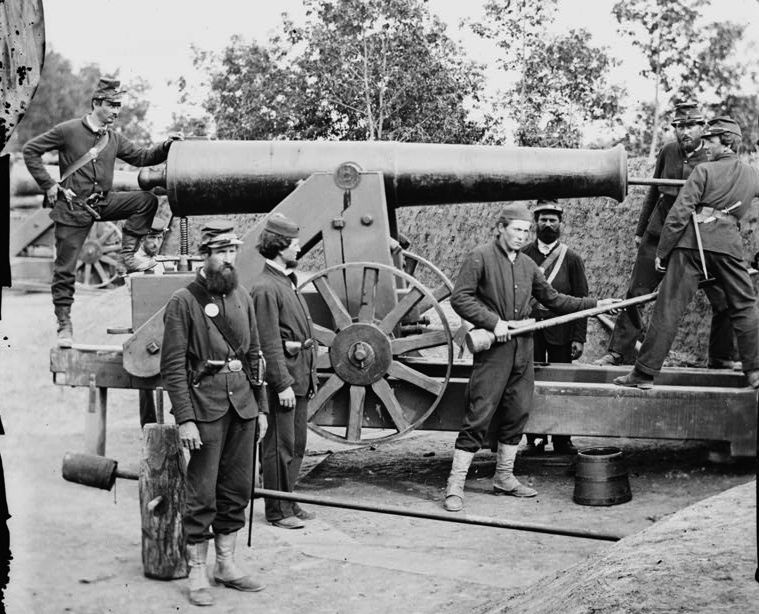
History of Fort WoodburyOne of the ring of Union fortifications surrounding Washington DC during the U.S. Civil War, see Washington DC Fort Ring. Fort Woodbury was also one of 33 forts on the Virginia side of the Potomac River that made up an outer defense line for Washington DC known as the Arlington Line. Established in August 1861 as an earthworks lunette with a stockaded gorge. It had a perimeter of 275 yards enclosing 13 gun emplacements, two magazines and a bombproof. Armament included five 24 pounder cannon, three 30 pounder Parrott rifles, four 6 pounder cannon and one 24 pounder Coehorn motar. A 17 May 1864 report from the Union Inspector of Artillery noted the following: "Fort Woodbury, Maj. N. Shatswell commanding.–Garrison, two companies First Massachusetts Heavy Artillery–1 major, 10 commissioned officers, 1 ordnance-sergeant, 256 men. Armament, four 6-pounder James (rifled), four 24-pounder siege (smooth), one 24-pounder F. D. howitzer (smooth), three 30-pounder Parrotts (rifled), one 24-pounder Coehorn mortar. Magazines, two; dry, and a new one being built. Ammunition, full supply and well packed and in good condition. Implements, complete and in good order. Drill in artillery, fair; approaching good. Drill in infantry, commendable degree of efficiency. Discipline, fair. Garrison sufficient." The fort was abandoned in 1865 at the end of the war. Current StatusNo remains. A historical marker is located at the corner of North Court House Road and 14th Street.
See Also:
Sources:
Links: Visited: No
| ||||||
