Fort at Point Peter
|
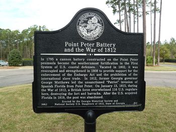
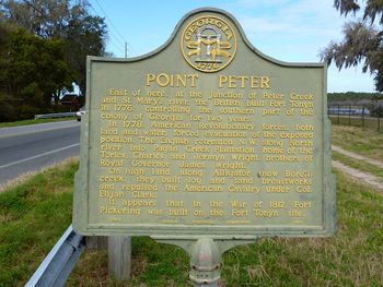
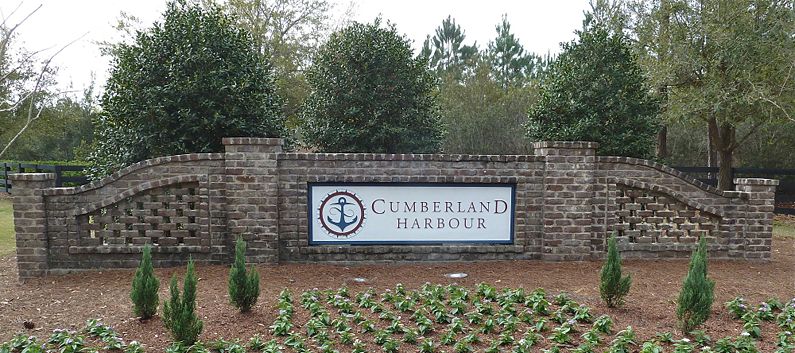
HistoryThe history of this post is a bit murky but a 2004 archeological dig confirmed its existence and characteristics. Even the name is in question but it is clear that the post evolved over time and perhaps the name evolved with it. The post began as a picketed earth and log artillery battery in the First System harbor defense system. The armament for this post was listed as 14, eight and twelve pounders. It was abandoned about 1802 but reoccupied and rebuilt in 1808. The 1808 rebuilding included a blockhouse. During this period as many as eleven gunboats were assigned to the area to protect St. Mary's and enforce the border with Spanish Florida. In January 1815 at the end of the War of 1812 some 1500 British troops attacked the post and overwhelmed the small garrison. The British went on to sack the nearby town of St. Mary's and destroyed the fort. All of this took place after the War of 1812 was actually over, unknown to the combatants. The post was rebuilt in 1817 but abandoned as a fortification in 1818. Excavations found the remains of barracks foundations, a blockhouse, the parade ground, garbage pits and wells.The dig also found evidence of the British sack of the town of St. Mary's. Current StatusTwo markers refer to the fortification and Point Peter. The archeological excavation site is located on private property inside the gated community of Cumberland Harbor. Cumberland Harbor is on Point Peter near St. Mary's in Camden County, Georgia. Fort map point is approximate.
Sources:
Links: Visited: 12 Mar 2012
| ||||||


