Gates of the Mountains Camp
|
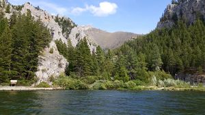
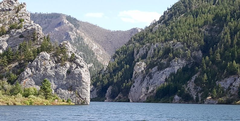
History Established on the evening of 19 Jul 1805 along the Missouri River just after the expedition passed the natural rock feature now known as the Gates of the Mountains. Meriwether Lewis called the rock curtain that at first appeared to block the river's path the "Gates of the Rocky Mountains" in his journal. Modern usage calls the feature Gates of the Mountains. This rock feature appears to block the river from a distance, as a boat draws nearer the rock walls appear to part, revealing a path up the canyon. A suitable campsite could not be found along the steep walls of the canyon until after dark on the 19th. Finally, a flat was found with enough space and wood for a campsite. The camp was abandoned the next day on 20 Jul 1805.
Current StatusThe exact location is unknown and probably under water after the Holter Dam raised the Missouri River some 25 to 30 feet in the approximate location. Two likely locations from Lewis' accounts have been established: location A is the more promising.
See Also: Sources:
Links: Fortification ID:
Visited: 18 Aug 2016
| |||||||
