Mansker's Station (1)
|
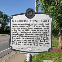
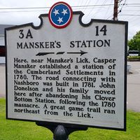
Mansker's Station (1) (1779-1781, 1783-Unk) - A settler Fort established in 1779 on the west bank of Mansker Creek near present day Goodlettsville, Davidson County, Tennessee. Named Mansker's Station (1) after Kasper Mansker. Abandoned and burned down in 1781. Reestablished in 1783 at a new location on the east side of Mansker Creek in present day Sumner County as Mansker's Station (2). Not known when it was abandoned as a fortification. History of Mansker's StationA settler Fort established in 1779 on the west bank of Mansker Creek by Kasper Mansker and other settlers including John Donelson’s family who fled here in 1780 for safety from hostile Indians. Mansker and other settlers abandoned the fort in 1781 and moved to Fort Nashborough because of increasing danger from hostile Indians. Mansker's first station then burned to the ground. Mansker returned to the area in 1783 and built a stronger stockade on east bank of the creek, Mansker's Station (2), and lived there with his wife Elizabeth until he died in 1820.
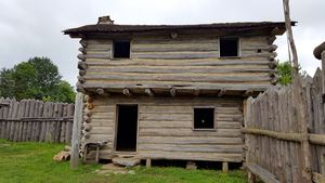
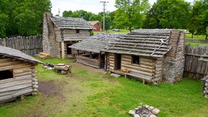
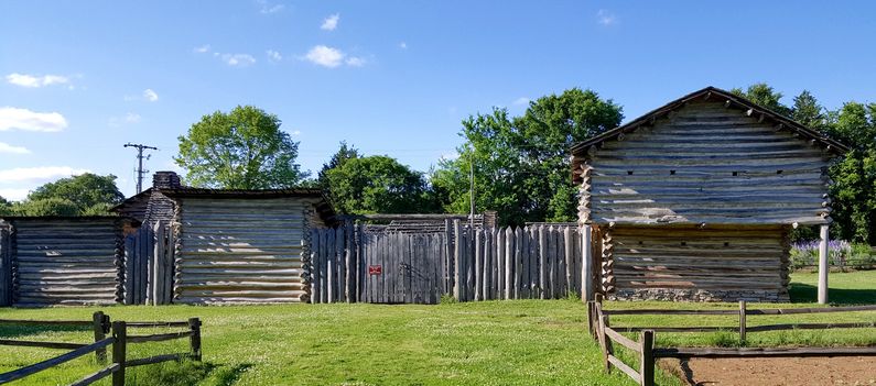
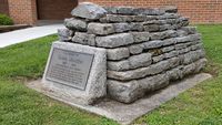
Current StatusAspects of Mansker's two stations are included in the present day Historic Mansker's Station, a replication of a 1779-1790 frontier forted station typical of early Cumberland settlements. It is not a replica of either of the Mansker's Station. It should be noted that the county line between Davidson County and Sumner County is Mansker's Creek at the location of these forts. This places Mansker's Station (1) Davidson County and Mansker's Station (2) in Sumner County. Kasper Mansker was buried near his station when he died in 1820. In 1956 his remains were moved to a spot in front of the present Goodlettsville Community Center on Memorial Drive.
See Also: Sources: Links:
Visited: 18 May 2016 | ||||||
