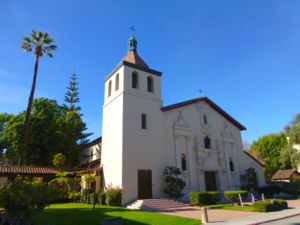
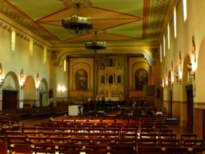
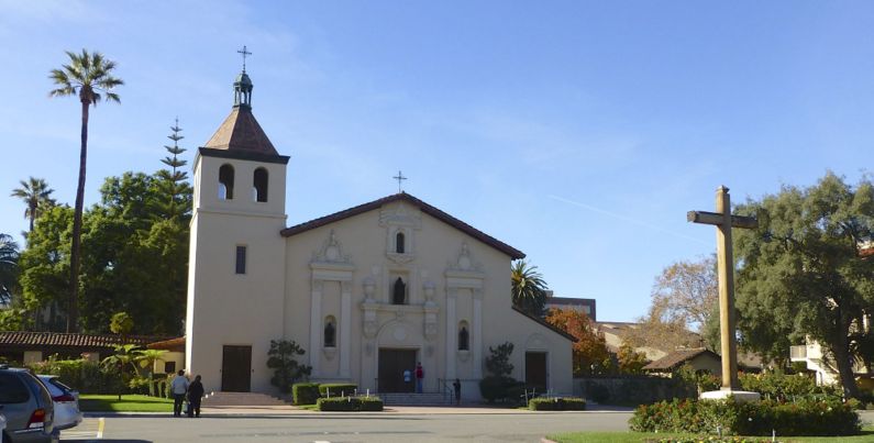
Mission Santa Clara de Asis
|
Mission Santa Clara de Asis (1777-1836) - A Spanish mission established in 1777 by Father Junipero Serra in present day Santa Clara, Santa Clara County, California. Associated with the Presidio of San Francisco. Named for Saint Clare of Assisi. Secularized in 1836.
The Spanish Period (1769-1821) The Spanish period began in California with the building of Mission San Diego de Alcala, and the Presidio of San Diego in 1769. The Spanish Presidio provided a support system for the attached missions that included military troops. The mission provided provided a complete community for the converted native peoples that included agriculture and industry activities as well as religious instruction and services. Typically a very limited military presence was maintained at the missions and the presidio acted as the garrison for the surrounding missions. The Mission Santa Clara de Asis was founded on 21 Jan 1777, by Father Junipero Serra, as the 8th of twenty-one Spanish missions founded in California. The site was moved four times to its current location after floods, fires and earthquakes forced it further away from the Guadalupe River and up onto higher ground. The current site is the 5th location and dates to 1822.
Mexican Period (1822-1846)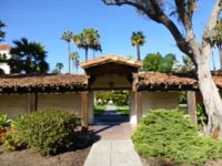 The Mexican period began with the end of the Mexican Revolution around 1820. Mexican troops occupied the presidios and Mexican governors ran the province of Alta California. The Mexican government began the process of secularization (turning church lands over to private interests) around 1831 and passed laws in 1833 mandating secularization of all missions in Mexico. Secularization gradually ended church ownership of community property. Most of the missions and presidios were abandoned and fell into disrepair as the lands were redistributed to private owners. Mission Santa Clara de Asis was secularized in 1836
The American Period (1846-Present)The Mexican War was declared by the U.S. Congress on 11 May 1846 in response to a Mexican attack on U.S. troops in Texas. The declaration of war opened the door for American occupation of California. The American period began when American forces occupied San Diego in 1846. With end of the war, Mexico ceded all of upper California to the Americans in 1848 and a new round of land redistribution began. On 19 Feb 1853, Archbishop Joseph Sadoc Alemany filed a claim on behalf of the Roman Catholic Church for the return of all former mission lands in the State of California. Ownership of 1,051 acres (for all practical intents being the exact area of land occupied by the original mission buildings, cemeteries, and gardens) was transferred back to the Catholic Church by land patents and proclamations signed by U.S. Presidents between 1855 and 1874. Mission Santa Clara de Asis was returned to the Catholic Church in 1846. Jesuit Father John Nobili began a college on the Mission site in 1851, it became present day Santa Clara University. Current Status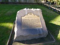 Santa Clara, Santa Clara County, California.
USGS Geographic Names Information System (GNIS) Database Entry: 228848
Sources: Links: Visited: 23 Nov 2012 | ||||||
