Presidio San Elizario
|
Presidio San Elizario (1773-1865) - A Spanish Presidio established in 1773 in present day San Elizario, El Paso County, Texas. The Presidio was abandoned as a fortification in 1865.
History of the Presidio of San Elizario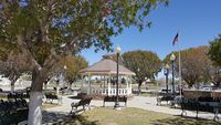 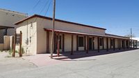 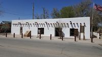 The presidio was established in 1773 to protect the river settlements of Ysleta and Socorro and to establish an Apache settlement. The site was located on an island in the Rio Grande River about 25 miles south of El Paso, Texas. The island has since become a part of the mainland U.S. side. The presidio had an adobe wall perimeter enclosing quarters for 4 officers, barracks for 43 soldiers, guardhouses, corrals, storerooms, and a chapel. On 26 Feb 1807 U.S. Army Captain Zebulon M. Pike was arrested by Spanish officials at Pikes Stockade in present day Colorado and accused with entering Spanish territory illegally. Pike was confined at the Presidio of San Elizario for three days before he was taken to Chihuahua. The presidio continued to be used to confine American traders who transgressed into Spanish territory until the Mexican War of Independence removed the Spanish government in 1821. The Apache settlement numbered more than 1,000 when the new Mexican government took power. The settlement quickly disintegrated after 1831, when Mexican officials began the process of secularization and terminated the ration program. At the end of the Mexican War the Treaty of Guadalupe Hidalgo (2 Feb 1848) designated the Rio Grande as the boundary between the United States and Mexico and the island containing the presidio became a part of the United States. On 15 Sep 1849, the presidio was occupied by companies I and K of the 3rd U.S. Infantry, commanded by Captain William S. Henry, (Cullum 825), the garrison remained until September 1851. The post was referred to in the U.S. Army post returns as the Presidio de San Elizario, Texas. By 1851 the old presidio was in ruins and settlers had dismantled much of it to construct their own homes. During the U.S. Civil War the presidio site was first occupied by Confederates in 1861 and later by the Union California Volunteers in 1862. The site was abandoned at the end of the war in 1865.
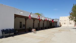
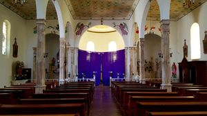
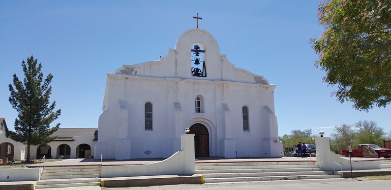
Current Status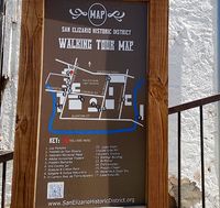 Must See! Part of the San Elizario Historic District. The Presidio Chapel, dating from 1882, replaced earlier ones destroyed by fire and flood. It now overlooks the former presidio parade ground, now a historical park. Buildings, some dating back to the establishment of the Presidio at this location, line the square and side streets. A walking tour, complete with lots of interpretive signs at each location, covers most of the town. Lots to see, many markers and signs. Easy to get to from El Paso.
See Also: Sources:
Links:
Visited: 26 Mar 2016 | ||||||
