File:Cape Romanzof AFS Vicinity Map.jpg
Size of this preview: 800 × 513 pixels. Other resolution: 1,482 × 950 pixels.
Original file (1,482 × 950 pixels, file size: 169 KB, MIME type: image/jpeg)
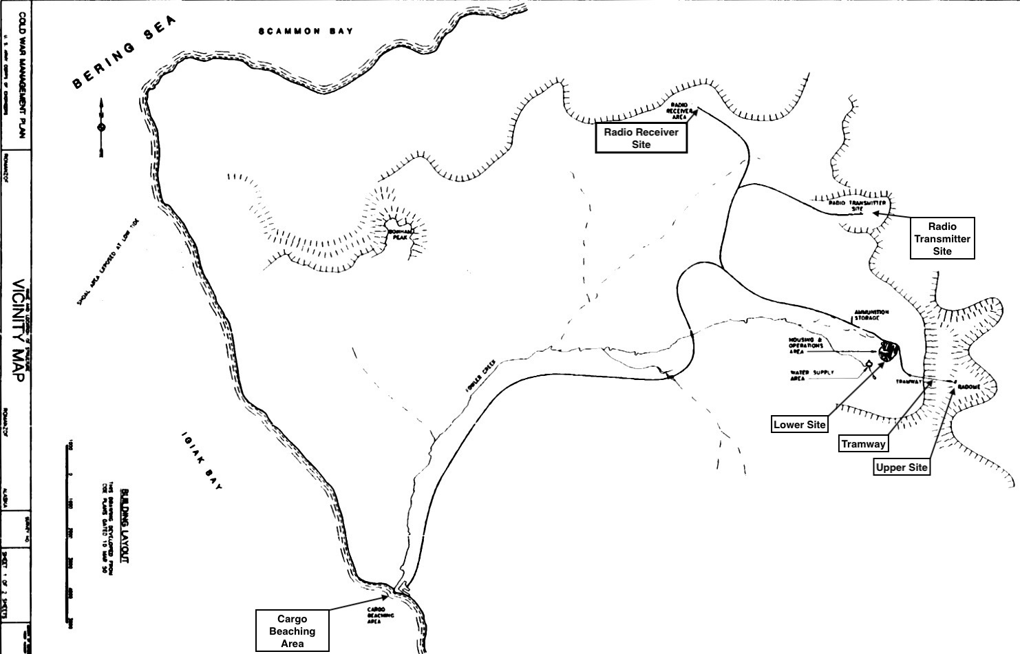
Cape Romanzof AFS Vicinity Map (Annotated), public domain Denfeld, D. Colt Ph.D., The Cold War In Alaska: A Management Plan For Cultural Resources, 1994-1999, U.S. Army Corps of Engineers, August 1994, 327 pages, Pdf page 131
File history
Click on a date/time to view the file as it appeared at that time.
| Date/Time | Thumbnail | Dimensions | User | Comment | |
|---|---|---|---|---|---|
| current | 11:10, 1 December 2018 | | 1,482 × 950 (169 KB) | John Stanton (talk | contribs) | Cape Romanzof AFS Vicinity Map (Annotated), public domain {{DenfeldUSACE}} page 131 |
You cannot overwrite this file.
File usage
The following page uses this file: