Fort Chippawa
|
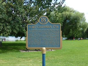
Fort Chippawa (1791-1815) - A British colonial fort established in 1791 along the Niagara River at the mouth of the Chippawa River in present day Chippawa, Niagara RM, Ontario, Canada. Destroyed in 1814 during the Battle of Chippawa. Rebuilt and later abandoned in 1814-1815. Also known as Fort Welland.
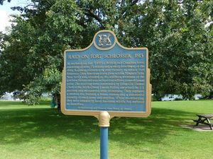
HistoryEstablished in 1791 after the Revolutionary War as a palisaded log blockhouse and storehouse. The fort was located at the mouth of the Chippawa River where it enters the Niagara River. This point was the southern end of the British Niagara portage around Niagara Falls. The storehouse served as storage and distribution point for supplies headed to British fortifications further up in the Great lakes. A similar American fort, Fort Schlosser, was located on the other side of the Niagara River guarding the southern end of the American Lewiston portage around the falls. On 5 July 1813 a small British force led by Lieutenant Colonel Thomas Clark departed from the vicinity of Fort Chippawa and attacked Fort Schlosser surprising the garrison and making off with a good supply of arms and supplies as well as two boats and a brass cannon. At the beginning of the War of 1812 a gun battery had been built along the river. The fort and the gun battery were destroyed by American forces in July 1814 during the Battle of Chippawa which was fought just south of the fort. The proximity of the fort to the American forces on the other sided of the river led to frequent clashes and the fort changed hands frequently. The fort was upgraded with earthworks, a barracks, officer's quarters and storehouse in 1814-1815 but it was abandoned after the end of the war.
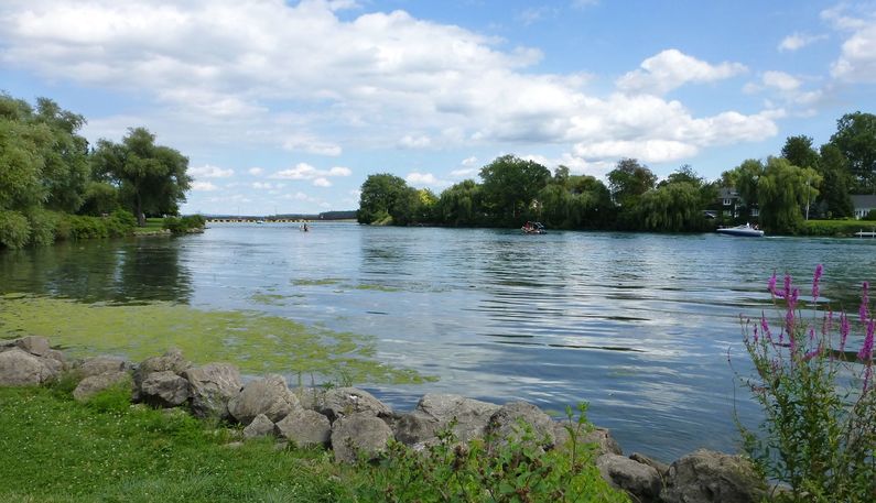
Current StatusTwo adjacent markers at the entrance to Kings Bridge Park along the Niagara Parkway at Chippawa, Niagara RM, Ontario, Canada. The fort site is on the north bank of the Chippawa River. The battle site and markers are located on the south side of the river a short distance down the Niagara Parkway.
Sources: Links: Visited: 11 Aug 2013
| ||||||


