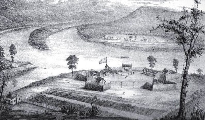
Fort Harmar
| More information at Warlike, Wikipedia
Fort Harmar (1785-1790) - A U.S. Army fort authorized by Congress and first established in 1785 at present-day Marietta, Washington County, Ohio. Named Fort Harmar after Colonel Josiah Harmar. Abandoned in 1790. Also known as Muskingum Fort.
HistoryEstablished in September 1785 when a log stockaded fort was constructed at present-day Marietta, Washington County, Ohio. The post was built to keep squatters off Indian lands until they could be surveyed and put up for sale. The fort was built by troops under the supervision of Captain John Doughty and Captain Jonathan Heart as an elongated pentagon with horizontal log walls some 12 to 14 feet high and 120 feet long on the long side. The five corners of the pentagon each had a pentagonal bastion with a mounted cannon. The officers lived in the bastions and the enlisted men lived in barracks arranged along the long side walls. The post was the site of the 1789 Treaty of Fort Harmar. Abandoned in September 1790 when the troops were sent to Fort Washington. Current StatusMarker in Marietta, Washington County, Ohio.
See Also: Sources:
Visited: No | ||||||
