Fort Randolph (1)
|
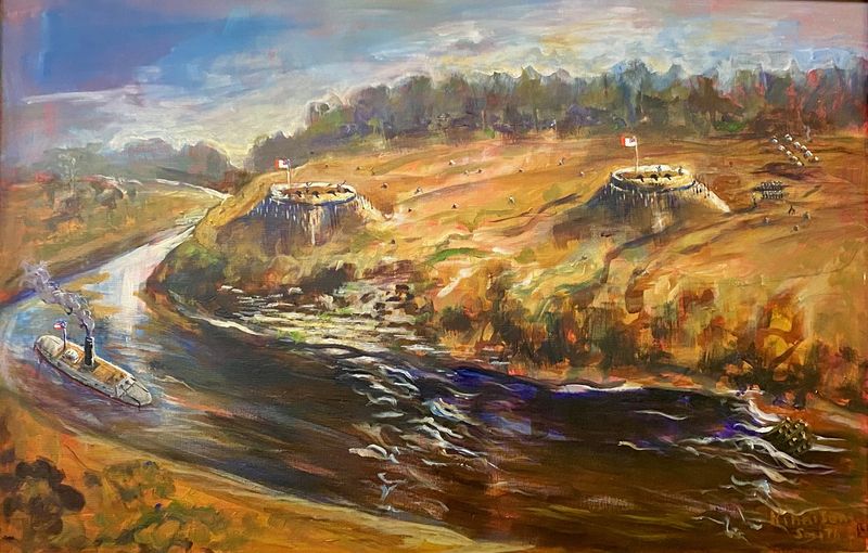
HistoryFort Randolph was located on the east bank of the Red River on the south side of present-day U.S. 71. Fort Buhlow, was built about 500 yards away on the north side of the highway. The two forts covered rapids that begin just north of Fort Buhlow and end near the south end of the site of Fort Randolph.  Construction on the forts began in June 1864. They were designed as defenses against an expected third Federal invasion up the Red River Valley. The two forts were named in honor of the construction engineers Christopher Meyer Randolph and Lieutenant A. Buhlow, his assistant. The forts saw no action. After the war ended, both forts were turned over to General F. J. Herron's Union forces on 3 Jun 1865. Both were demolished for their lumber and brick. In October 1928 historical markers were placed at both sites.
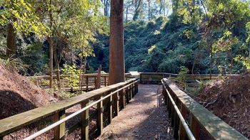
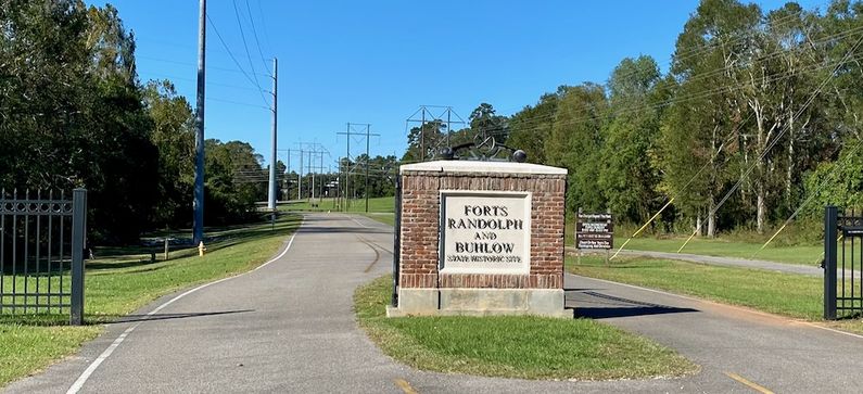
Current StatusNow a part of the Forts Randolph and Buhlow State Historic Site. A substantial portion of the huge earthworks still exists. The main redoubt was purchased by Louisiana Commission des Avoyelles in March 1996 and the 70 some acres became a State Historic Site in 1999. At the time of our visit on 30 Oct 2020, the State of Louisiana had just been struck by three major hurricanes in succession. Rain and wind damage extended far inland and including both the Fort Randolph and Fort Buhlow sites. The site was also under Covid-19 restrictions. Surprisingly the visitor center/museum was open and manned by a single employee who gave us a great orientation, showed us a video, showed us around the exhibits, and then formed up a small tour group to see the forts. The Fort Randolph earthworks is a very tall circular fort that is now surrounded at the base by a wooden walkway with a wooden walkway leading up to the interior. Both the walkway to the interior and the walkway to the backside of the fort were blocked and damaged by fallen trees. The walkway to Fort Buhlow was completely blocked.
See Also: Sources:
Links:
Visited: 30 Oct 2020
| |||||||


