Fort Loudoun (1): Difference between revisions
John Stanton (talk | contribs) No edit summary |
John Stanton (talk | contribs) No edit summary |
||
| Line 39: | Line 39: | ||
'''Links:''' | '''Links:''' | ||
* [http://www.northamericanforts.com/East/vanorwest.html#loudoun North American Forts - Fort Loudoun] | * [http://www.northamericanforts.com/East/vanorwest.html#loudoun North American Forts - Fort Loudoun] | ||
* [http://www.fortedwards.org/cwffa/ft-loudn.htm Fort Loudoun] | |||
{{Visited|13 Apr 2012}} | {{Visited|13 Apr 2012}} | ||
Revision as of 06:30, 14 April 2012
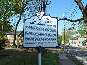
Fort Loudoun (1) (1756-1780) - A log and earthworks fort established in 1756 during the French & Indian War by Colonel George Washington in Winchester, Frederick County, Virginia. Named for John Campbell, Earl of Loudoun. Abandoned in 1780.
 |
 |
Fort Loudoun (1) History
This fort was established by Colonel George Washington as a square fortification with four bastions and a double palisaded. The double palisade was filled with earth. The post was designed to garrison as many as 450 men and mount 24 cannons.

Current Status

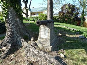
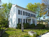
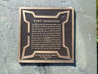
Two markers, site on private property in Winchester, Frederick County, Virginia
|
{"selectable":false,"width":"500"} |
Location: Private Property, Frederick County, Virginia. Maps & Images Lat: 39.188747 Long: -78.163892 |
Sources:
- Roberts, Robert B., Encyclopedia of Historic Forts: The Military, Pioneer, and Trading Posts of the United States, Macmillan, New York, 1988, 10th printing, ISBN 0-02-926880-X, page 814
Links:
Visited: 13 Apr 2012
Fort Loudoun (1) Picture Gallery
|
Click on the picture to see a larger version. Contribute additional pictures - the more the better! |