Fort Rouge
|
Fort Rouge (1738-1749, 1752-1753) - A French fur trading post and depot established in 1737 at South Point in present day Winnipeg, Manitoba. Abandoned in 1753.
History of Fort RougeEstablished in October 1738 by Pierre Gaultier de Varennes, sieur de La Vérendrye but thought to have been actually built by a Mr. de Lamarque at the junction of the Assiniboine River and the Red River. While Fort Rouge was under construction, La Vérendrye proceeded up the Assiniboine River to constructed Fort La Reine. Fort La Reine was located at the prairie portage between the Assiniboine River and Lake Manitoba on the native route to the English fur trading posts at Hudson's Bay. It is thought that Fort Rouge was constructed as a depot for the forts further west and that it was abandoned by 1749 when La Vérendrye left the area. A new commandant of the French western forts, Jacques Legardeur de Saint-Pierre, traveled to the fort in the winter of 1752–1753 and is thought to have rebuilt Fort Rouge at its original location. The later construction of Fort Gibralter replaced Fort Rouge.
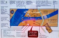
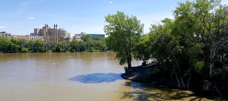
Sources: Current Status The site of Fort Rouge is believed to be on South Point in present day Winnipeg. This site is south across the Assiniboine River where it joins the Red River. Some archeological remains have been found but not tied directly to the fort. Conflicting theories abound on the actual location. The South Point location can be directly accessed by foot bridge from the area of Winnipeg known as "The Forks", a popular recreation and tourist area. An observation tower at The Forks provides a great view of South Point and identifies the possible location of the fort.
See Also: Sources:
Links: Visited: 29 Jul 2016
| ||||||||||||||||||||||||||||||||||||||||||||||||||||||||||||||||||||||||||||||||||||||
